Support and Documentation
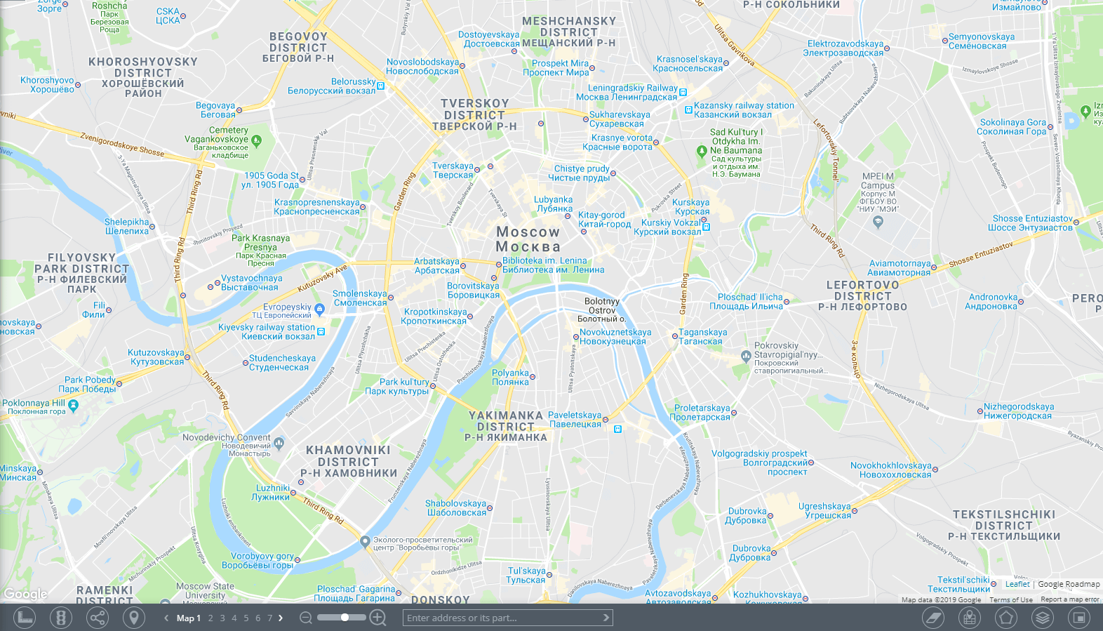
A map is a basic component of those applications that apply the visualization of geodata on a terrain or satellite images.
The Map component is used when performing the following tasks:
- Real-Time Tracking
- Creating geofences
- Viewing trip and event history
- Improving situational awareness
- etc.
Cartographic information
The spatial data is displayed on several layers. This way, when working with the map, users are able to easily view and differentiate:
- Terrain and road plan
- Traffic jams
- Created routes
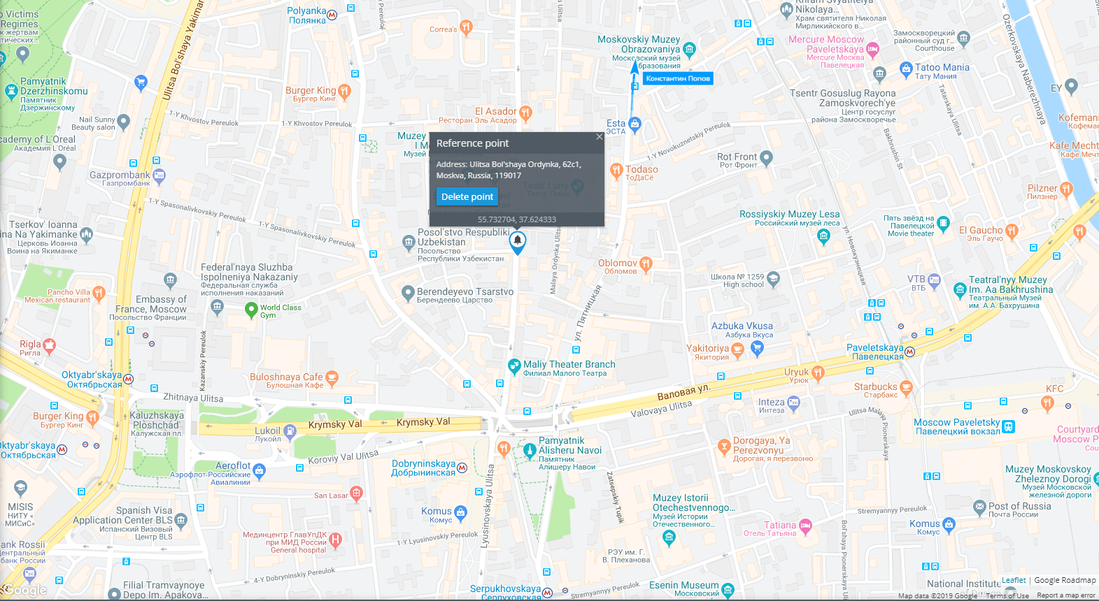
- User’s geofences, POIs (buildings, reference points, etc.)
On top of these layers users will find data primarily related to the currently opened application. Depending on the type of application, these can be monitoring objects, their trip tracks, markers of events that have occurred, etc.
Map tools panel

You can quickly access the map tools panel by heading to a toolbar located at the bottom of the currently opened application window. The tools in use are highlighted, while the inactive ones are grayed out.


